Community Corner
New Devil's Slide Website Showcases the Famed Stretch of Coastline
Devil's Slide Coast website reminds Half Moon Bay residents that at nearly 4,000 acres, Rancho Corral de Tierra on the midcoast is one of the largest expanses of protected land in the area.

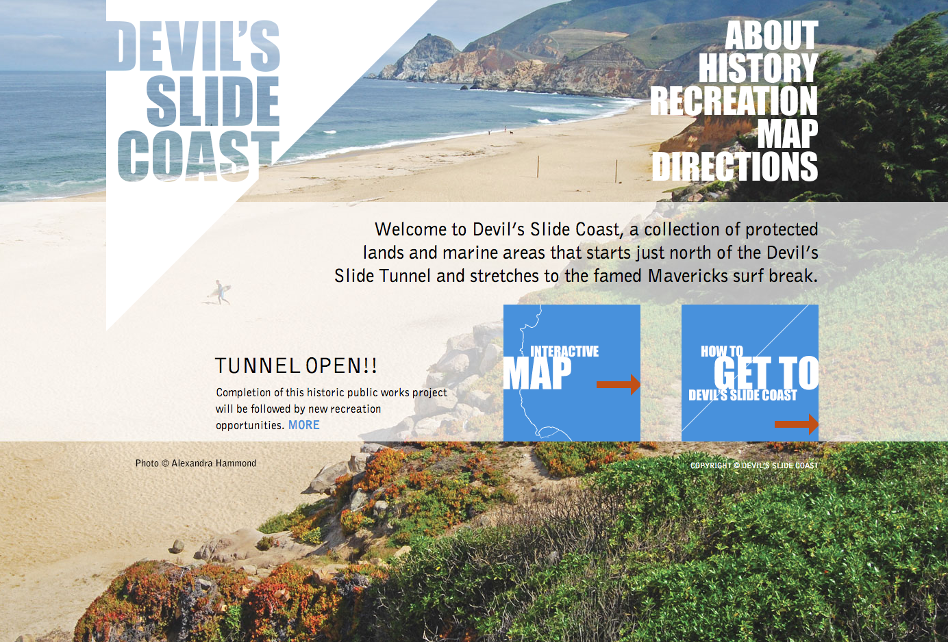
Seven local agencies recently collaborated to develop a new website, which provides visitors and residents of the happenings in and around Devil's Slide, an 8,900-acre network of publicly accessible lands located between Pacifica and Half Moon Bay.
The site, DevilsSlideCoast.org, is brought to you by the National Park Service, California State Parks, San Mateo County Parks, California Coastal Conservancy, Golden Gate National Parks Conservancye, Midpeninsula Regional Open Space District, and Peninsula Open Space Trust. These agencies and organizations work together with other local groups to protect and steward the public lands of this unique California coastal area and to enhance public access, recreational opportunities and community participation.
A wonderful selection of photos were chosen for the site and includes a timeline from before 1769 to today, outlining the history of the Devil’s Slide Coast, "a collection of protected lands and marine areas that starts just north of the Devil’s Slide Tunnel and stretches to the famed Mavericks surf break."
The site also includes an interactive map, providing information about the 47 miles of trails varying from breezy boardwalk strolls and paved pathways to steep and challenging hikes along this stretch of coastline.
According to information on the site, when the new section of the California Coastal Trail is completed in 2014, hikers, bikers and others will be able to enjoy 11 spectacular miles of Trail from Mori Point to Pillar Point.
Get more local news delivered straight to your inbox. Sign up for free Patch newsletters and alerts.